Weekly Short

20 August, 2020
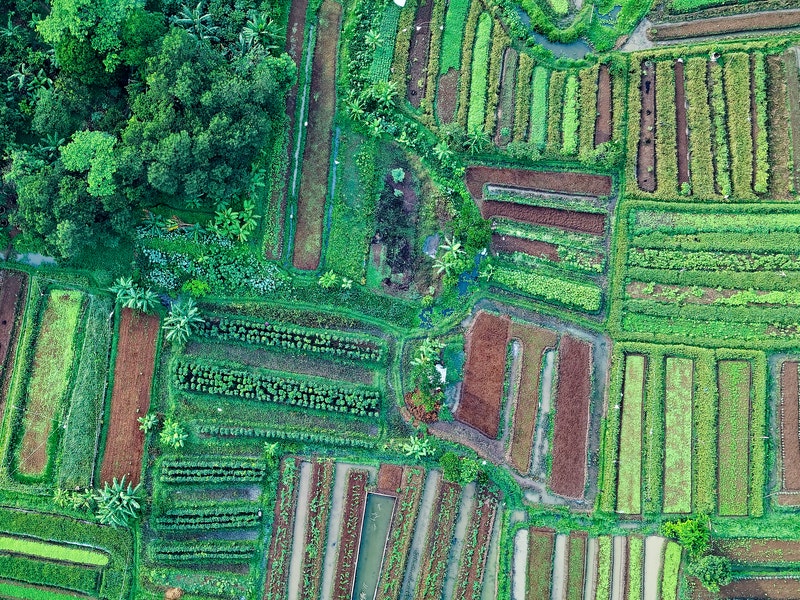
The UN’s Environment Programme (UNEP) has published a map of the Earth’s land that maps all of the planet’s terrestrial habitats and categorises each square kilometre according to whether it is ‘natural’ or ‘modified’.
‘Natural’ areas are those that have not been created or altered by humans, while ‘modified’ areas have been adapted in some way. Previously, information on areas that were classified as ‘protected’ or ‘key for biodiversity’ was available, but this new map takes it further by mapping all land, in the hope that it will inform better decisions about which land to use and how to use it.
Not only is this a new way of thinking about human impact on land, it will allow businesses and investors to assess the impacts of existing land use and factor this in when measuring their environmental footprints. This is especially important for industries with heavy land use like agriculture, extractives, forestry and energy.
The UNEP also reported this month that destruction of habitats is a huge risk factor with respect to future pandemics. So, whilst we’re excited that an extensive map of this kind now exists, we hope it will be used in the way that it is intended to be used, rather than as a treasure map for opportunistic investors looking for the perfect place to locate that remote luxury hotel…
Given that humans have modified roughly 72% of the planet’s (ice-free) land already, in some way or other, this is certainly a useful tool to identify those areas that are currently untouched, and to be more mindful about how we use the land available to us.
By Cara McEvoy